Petra Schmitt · 5 September 2026
How Ancient Collisions Left Magnetic Imprints That Now Guide Ice Prospecting Efforts at the Lunar Poles
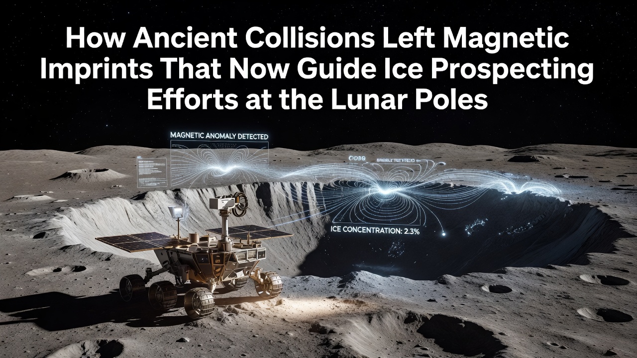
Ancient impacts from the early solar system created magnetic anomalies that persist across the lunar surface, and these remnants now shape how teams locate water ice near the poles. Massive collisions billions of years ago generated shock waves that magnetized portions of the crust, particularly in and around large basins such as the South Pole-Aitken region. Data from orbital magnetometers reveal that these fields deflect solar wind particles and alter the distribution of implanted hydrogen, which researchers link directly to ice stability in permanently shadowed craters.
Formation of Lunar Magnetic Anomalies Through Early Impacts
During the Late Heavy Bombardment period, projectiles struck the Moon and produced localized magnetic fields through processes that include plasma expansion and shock-induced currents in the regolith. Observers note that the resulting anomalies range in strength from a few nanoteslas to over 100 nanoteslas at the surface, with the strongest concentrations clustered along basin rims. These fields remain detectable today because the Moon lacks a global dynamo, so the ancient imprints stand out against a weaker background. Studies conducted with the Lunar Prospector and Kaguya missions mapped these patterns at high resolution, confirming that impact geometry controls the orientation and extent of each anomaly.
Connection Between Magnetic Fields and Polar Ice Deposits
Magnetic anomalies influence the flux of solar wind protons that reach the surface, and this modulation affects hydrogen retention in cold traps. Where fields deflect incoming particles, less hydrogen arrives, yet the same deflections can channel ions toward adjacent shadowed areas, increasing local concentrations. Researchers have measured correlations between anomaly edges and enhanced ice signatures detected by neutron spectrometers and ultraviolet spectrometers aboard multiple orbiters. In regions such as the Shackleton crater vicinity, magnetic gradients coincide with higher hydrogen abundances reported by the Lunar Reconnaissance Orbiter, suggesting that ancient collision sites indirectly control where ice accumulates most densely.
Current Prospecting Techniques That Incorporate Magnetic Data
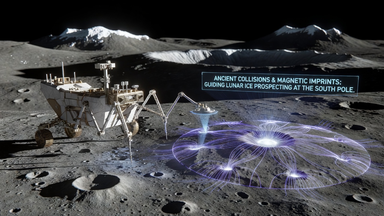
Teams planning future landings combine magnetic maps with topographic and thermal data to prioritize drill sites and rover traverses. Ground-penetrating radar and magnetometer arrays deployed from rovers can resolve subsurface structures while simultaneously tracking local field variations that indicate buried ice layers. One ongoing analysis from the Chandrayaan-2 orbiter integrates these datasets to refine landing ellipses for September 2026 missions, where targeted sampling will test whether magnetic shielding correlates with ice purity. Instruments planned for the Artemis program will carry fluxgate magnetometers alongside mass spectrometers, allowing real-time adjustments to sampling locations based on measured field strength.
Engineers have also begun modeling how magnetic anomalies affect electrostatic levitation of dust, since charged particles can redistribute ice over time. Simulations show that field lines focus or disperse dust in ways that either expose or bury ice deposits, adding another variable to prospecting models. Field data collected during the Chang'e-4 mission on the lunar far side provided calibration points for these models, demonstrating that even weak anomalies produce measurable effects on surface processes.
Case Examples from Recent Orbital Surveys
Analysis of the Reiner Gamma anomaly, though located at lower latitudes, supplied a template for interpreting polar signatures because its well-defined magnetic structure allowed precise measurement of solar wind deflection. When similar techniques were applied to the poles, researchers identified several previously overlooked craters where ice signatures align with anomaly boundaries. The European Space Agency's SMART-1 archive contributed additional multispectral observations that helped distinguish between ice and hydroxyl signatures influenced by magnetic shielding. These combined datasets now feed into planning tools used by international teams coordinating 2026 and 2027 surface operations.
Future Missions and Data Integration
Upcoming landers scheduled for the lunar south pole will carry magnetometers capable of operating at cryogenic temperatures, enabling direct measurements inside shadowed regions. Data from these instruments will be cross-referenced with neutron counts and near-infrared spectra to build three-dimensional maps of ice distribution. Observers note that September 2026 marks the planned arrival of a joint robotic campaign that will deploy stationary magnetometer stations alongside mobile prospectors, creating a continuous monitoring network across multiple anomaly fields. Such networks are expected to refine models of how ancient collisions continue to shape resource availability.
Conclusion
Magnetic imprints from ancient impacts provide a reliable framework for guiding ice prospecting at the lunar poles because they record both the delivery mechanism and the preservation conditions of water resources. Orbital surveys have established clear spatial relationships between these anomalies and hydrogen concentrations, while surface missions continue to validate the connections through direct measurement. Integration of magnetic data with other remote-sensing techniques improves targeting accuracy for sampling and extraction operations, supporting sustained exploration efforts. As new datasets arrive from missions in 2026 and beyond, the role of these ancient collision remnants will become even more central to resource-mapping strategies.